|
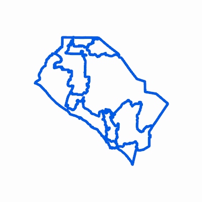
Width: 400 Height: 400 Extent:
YMin: 2027405.9086636915 XMax: 6262597.81183631 YMax: 2352227.4253363083 Spatial Reference: 102646 (2230) LatestVCSWkid(0) Scale: 935485.9680171364 |
| ArcGIS REST Services Directory | Login |
| Home > services > Planning > Jurisdictional_Political (MapServer) > export | API Reference |

|
Width: 400 Height: 400 Extent:
YMin: 2027405.9086636915 XMax: 6262597.81183631 YMax: 2352227.4253363083 Spatial Reference: 102646 (2230) LatestVCSWkid(0) Scale: 935485.9680171364 |